After geotagging PMAY (Pradhan Mantri Awas Yojana) houses in the urban area, the Centre has approved Rajasthan government’s request for using this technology in rural regions. Henceforth, all houses constructed under the Indira Awaas Yojana in Rajasthan will use this technology. The state will re-audit previous houses to group them together, in order to eliminate any discrepancies.
What is Indira Awaas Yojana?
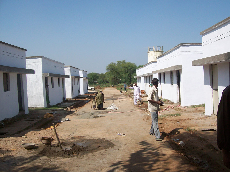
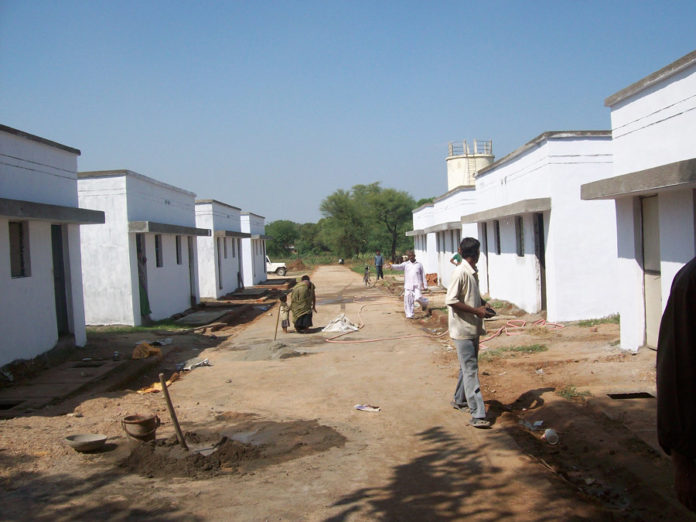
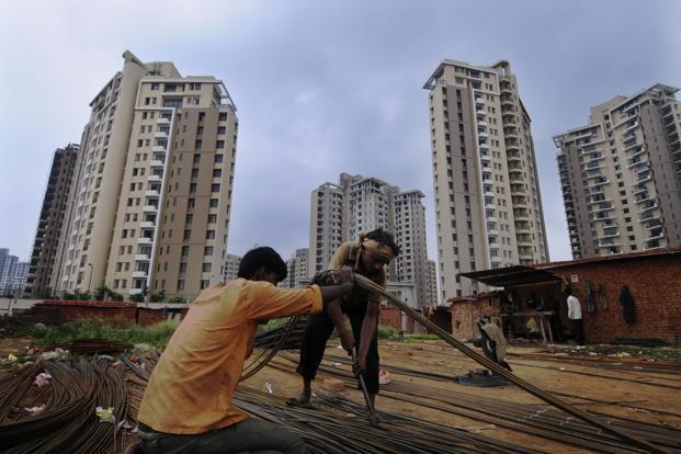
The centre’s flagship social welfare programme– Indira Awaas Yojana aims to provide affordable housing to the poor and needy population residing in rural India. This scheme was developed for the BPL (Below Poverty Level) families.
As per records, the government had sanctioned total 4.86 lakh houses for the year 2011-2012 and 2015-2016. Out of these, just 2.31 lakh homes were constructed by April 2016 and 1.10 lakh homes were completed by September 2016. Now, about 1.20 lakh houses are still under construction.
What does Rajasthan Government Plan to Do?
As Rajasthan is the largest state of India, it’s hard to monitor all houses, considering that the housing schemes spread over a large expanse of land. To resolve this issue, Rajasthan chief secretary O.P. Meena requested the Centre to provide them with this facility so that they can confirm the number of completed projects and link geo-tagged houses with the AwasApp.
How Does Geotagging Work?
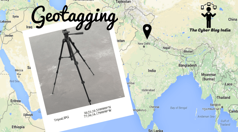
Geotagging is a fascinating concept that connects man-made structures to the satellites by recording their coordinates (location, latitude and longitude). For geotagging a building, the work inspectors and housing assistant engineers visit specific buildings to collect data for their survey report. This report is saved on a special software that runs on devices having GPS connectivity.
As the house proceeds through various stages of construction, the officers allot a specific colour code to show whether the building is constructed up to its basement level, roof level or to the first storey. The officers click pictures of the house under construction. Sometimes, the beneficiary is photographed outside the house to identify him as the owner.
The data is collected and inspected by Deputy executive engineers. Upon approval, it is uploaded to the server of the Housing Corporation. This data is then sent to Bhuvan that is ISRO’s (Indian Space Research Organisation) satellite mapping tool. Bhuvan, an Indian version of Wiki-mapia and Google Earth, records the exact location of houses on the map.
How will the Public Benefit from Geotagging House Scheme?
Geotagging of rural houses under Indira Awas Yojana will simplify things for the general public. The public can locate their houses online to retrieve the construction data. They can find out the exact status of policy execution whereas the government can monitor the disposal of completed units to the third party. Rajasthan government has withheld the release of finances to various parties due to unavailability of genuine data. Once all the houses are geo-tagged, the state will release funds for construction and allocation.
These endeavours will ensure direct delivery of assets to authentic beneficiaries, which is a positive step taken by the government to control housing frauds.
